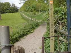
Here you can find a selection of our local walks, in order of distance-length, with routes and maps provided for downloading and printing, or viewing on phone. Either use the drop-down menu above, or follow the links below to each walk page.
Alternatively, you can find all our printed leaflets and maps in the Much Wenlock Museum, open Tues-Sun 11am-5pm.
This route starts with the climb up Walton Hill, which is steep but rewarded by absolutely stunning views. It returns via the valley through a range of farmland and wood.
This is an easy flat stroll, with open views of hills and fields, taking a pleasant stroll back through quiet woodlands along the track of the old railway.
A long stoney track leads you up to the tops of beautiful meadows, with wonderful views of hills and fields all around before you descend and return through a quiet sheltered wood.
A nice short walk up and along Wenlock Edge, with views down to Homer and across the North Shropshire plains.
This starts by leading you up a narrow wooded gully and out into the open fields beyond, with fantastic views of the Clee Hills. You return down and back to the town through pleasant meadows, with lovely views of the town below as you descend.
This excellent walk gives splendid views of Corve Dale, The Wrekin, Brown Clee and the Long Mynd before decending to the Medieval Village of Arlescott.
This walk through the fields and woods to the Anglo-Saxon settlement of Sheinton provides for an interesting destination with a historic church, and the return gives you ever-changing perspectives of Wenlock Edge.
![]()


